Manual Stockpile Surveys vs. Drone Measurement: Which Approach Fits Your Operation?
For any site that handles bulk materials, aggregates, mining products, earthworks, or stockpiled commodities, knowing the volume of material on hand is essential. It drives inventory management, sales reconciliation, and operational planning. For decades, the standard method was a manual survey: someone with a total station or a prism pole walking the pile, taking points, and building a model from ground-level data. That approach is still used, but it has known limitations. Drone-based stockpile measurement has grown rapidly as a practical alternative, and the choice between the two is not always obvious. Each method has its own strengths, and the best fit depends on the site, the material, the frequency of measurement, and the tolerance for error.
How Manual Surveys Work
A manual stockpile survey is a ground-level exercise. A surveyor marks out a grid across the pile, taking measurements at each point. The data is then processed in software that builds a triangulated surface model, and the volume is calculated relative to a base plane. The process is well understood, and experienced surveyors can produce reliable results. But it is labour-intensive. Walking every part of a large stockpile takes time, and the pile itself may be hazardous, soft ground, steep slopes, and moving machinery are real risks. The surveyor can only access as many points as time and safety allow, so the model is an interpolation between a limited set of measurements. The result is a volume estimate that carries some uncertainty, though for many years it was the only option available.
Drone Stockpile Measurement in Practice
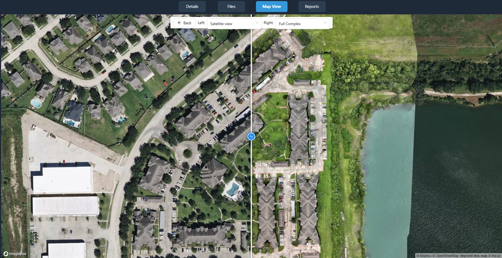
A drone survey works from above. The aircraft flies a programmed path over the stockpile, capturing overlapping images that are processed into a dense point cloud or a digital surface model. The data density is orders of magnitude higher than a manual survey can achieve, thousands of points per square metre rather than one point every few metres. That density makes the resulting surface model much more faithful to the real shape of the pile. The volume calculation is then performed by comparing the surface to a reference plane or a digital terrain model of the empty pad. The drone never touches the material, so there is no physical risk to the operator beyond normal flight safety considerations. The entire flight can be completed in a fraction of the time a manual survey would take, and the output can be delivered within hours.
One practical consideration is that a drone survey requires a clear view of the pile from above. If the stockpile is under a roof or under dense tree cover, the drone may not be able to capture usable data. For outdoor piles, however, the drone is almost always the faster and safer option. The data quality also holds up well across different types of material, from fine powders to coarse rock, as long as the surface is visible and not too reflective or too dark for the camera to resolve.
Accuracy and Repeatability
Accuracy is where the two methods diverge most noticeably. A manual survey is limited by the number of points a person can take in a day. The gaps between points mean that small ridges, hollows, and variations in the pile surface are averaged out. For a pile with a complex shape, that averaging can introduce errors that compound over the entire volume. Drone surveys, by contrast, capture the surface in enough detail to resolve those features. Studies in the mining and construction sectors have shown that drone-derived volumes often match ground truth more closely than manual estimates, especially on irregular piles.
Repeatability is another factor. A manual survey depends on the skill and consistency of the individual surveyor. Two different people may set out slightly different grids or choose different points, introducing variability that is hard to control. A drone flight can be programmed with the same flight plan every time, producing data of the same density and coverage. That consistency makes it easier to compare volumes over time and to detect real changes in stock levels rather than noise from the measurement method.
When Manual Surveys Still Make Sense
Manual surveys are not obsolete. They remain a practical choice for small sites where the cost of a drone flight would be hard to justify. For a single small pile on a site that is already being visited regularly by a surveyor, the extra time needed for a manual measurement may be minimal. Indoor stockpiles, such as those in warehouses or covered storage areas, may not be accessible to a drone at all, and the manual method is the only option unless a ground-based laser scanner is used. Some operators also prefer manual surveys when they need to combine volume data with other ground-level observations, such as material sampling or condition checks that require a person on the pile.
There is also the question of regulatory access. Drone flights near airports, in restricted airspace, or over sites with strict security protocols may require special permissions that take time to obtain. In those cases, a manual survey can be arranged more quickly, provided the site can be safely accessed on foot.
Choosing the Right Approach for Your Site
The decision between manual and drone stockpile measurement depends on several factors. If the pile is large, irregular, or surveyed frequently, the drone method will almost always deliver better data at a lower cost per measurement over time. If the pile is small, indoors, or in restricted airspace, the manual method may be more practical. For sites that need a high degree of confidence in their volumes, for financial reporting, royalty calculations, or production reconciliation, the extra detail from a drone survey provides a level of assurance that manual methods struggle to match.
Many operators now use a hybrid approach. They run a drone survey as the primary measurement and use a manual survey occasionally as a check or when the drone cannot fly. That combination gives them the best of both worlds: the density and consistency of aerial data most of the time, with a fallback method for exceptional situations. A platform like nationaldroneservices.net can help streamline that workflow, providing a place to process, compare, and share the data from either method. The point is to choose the method that fits the material, the site, and the business need, not to insist on one technology for every job.
What to Look For in a Drone Survey Partner
If you decide to adopt drone stockpile measurement, the quality of the result depends heavily on the survey provider. A competent operator will use a drone with a good camera and a reliable flight controller, but the real difference comes from the processing. The images need to be aligned and stitched into a dense point cloud, and the volume calculation must use a consistent base plane. The best providers will also supply a report that includes the raw data so you can verify the results or re-run them later if needed.
National Drone Services is one example of a company that offers nationwide turnkey capture and a data platform for managing the outputs. That kind of end-to-end service removes much of the complexity for site operators who do not want to invest in their own drone fleet and software. The data platform itself becomes a central place to store, compare, and share volumes across different sites and dates, which is valuable for organisations with multiple stockpile locations.
Whether you choose manual surveys, drone surveys, or a mix of both, the important thing is to understand the limitations of each method and to measure consistently. A volume figure is only useful if you know how it was derived and how much uncertainty it carries. By matching the measurement method to the site and the material, you will get more reliable numbers and better decisions as a result. For those looking to explore drone-based options further, platforms like nationaldroneservices.net provide the tools to process and compare aerial data without needing to manage the capture yourself.
National Drone Services on social media
 Facebook